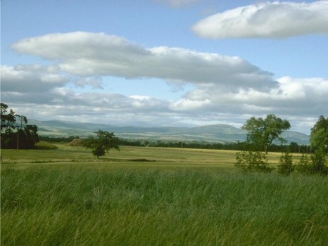
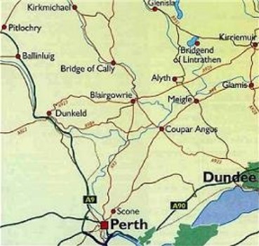
Coupar Angus sits on the south bank of the River Isla in the center of the rich, agricultural valley of Strathmore. It's about 6 miles s-s-w of Alyth and 5 miles s-w of Meigle. At one point, a stream that split the town was the boundary between Perthshire and Angus. The older part of the town in Angus gave rise to the name Coupar Angus. The picture above left was taken near Coupar Angus and looking towards the Grampian Mountains.
A Roman camp existed on Coupar Angus' site, but all that remains now is a complex of ditches and ramparts. Coupar Angus owes its history as an agricultural center to King Malcolm who gifted lands in this area to monks from Melrose Abbey who built a Cistercian Abbey near the village. The Cistercian monks were renowned for their ability to improve land and their farming was usually based on large scale sheep farming. The Abbey traded with continental Europe in wool, buying locally and exporting via Perth. The land was farmed by the monks themselves or by lay brothers who managed the outlying Granges. With their expertise, and with the expansion of their property through gifts of land from wealthy landowners, by the Reformation, Coupar Angus had the wealthiest Cistercian Abbey in Scotland.
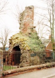
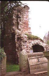
In 1559 the Abbey was burned by a Reformation fueled mob out of Perth. The buildings and precincts would have been extensive but no reliable plan survived and virtually nothing is known of them. All that remains now is the ivy-clad fragment of the gate-house which is shown in the two pictures above. The gatehouse led into the Inner Precinct of the abbey church and some parts of the other buildings such as cloisters, chapter house, refectory and bake-house may lie beneath the present graveyard.
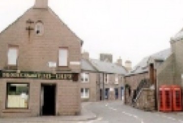
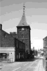
Between 1750 and 1800, Coupar Angus tripled in size, due in part to the introduction of linen manufacturing in the town and the increased commerce in the region stimulated by the creation of turnpike roads. The Minister writing in the 1795 Statistical Accounts also noted the larger population was created by the monopolizing of the farms by which small tenants and trades people have been obliged to remove to manufacturing towns - a polite way of saying Lowland Clearances. After the railway arrived in the early 1800s, Coupar Angus became a market town, manufacturing center and communication hub. Today's Coupar Angus is shown in the two pictures above. The Tollbooth Tower (right) also used to be a prison.
Sources
Various web sites, including
The Gazetteer for Scotland (http://www.geo.ed.ac.uk/scotgaz/towns/townhistory146.html)
Statistical Accounts of Scotland (http://stat-acc-scot.edina.ac.uk/)
Further reading: Wighton Families in Coupar Angus